
Jan. 20 – Hidden Valley Tank
Today we decided to stick closer to camp. On the simple map you can pick up at any of the 3 entrance kiosks into the wildlife refuge, the roads and water sources are marked with little accuracy. There is a symbol for ‘Hidden Valley Tank’ within walking distance of our campsite, but looking out at the mountains, how could we find it?
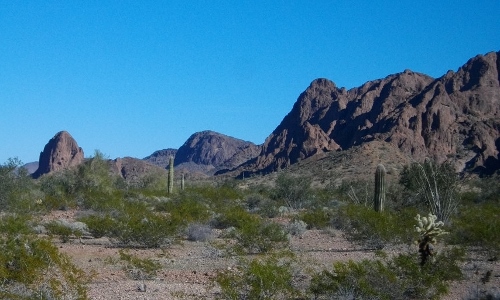
It’s like looking for a needle in a haystack, a water source in the arid mountains of Arizona!
I started with an internet search for GPS coordinates for water sources in Kofa Wildlife Refuge. Maybe the Fish & Wildlife Service doesn’t want to make it that easy! I couldn’t find any information pinpointing water sources here. Next I checked Google Earth and found what looked like a corrugated metal roof in a nearby narrow canyon. The ‘old style’ of water source enhancements usually consists of a dam holding water in a natural depression with a roof over it to minimize evaporation.
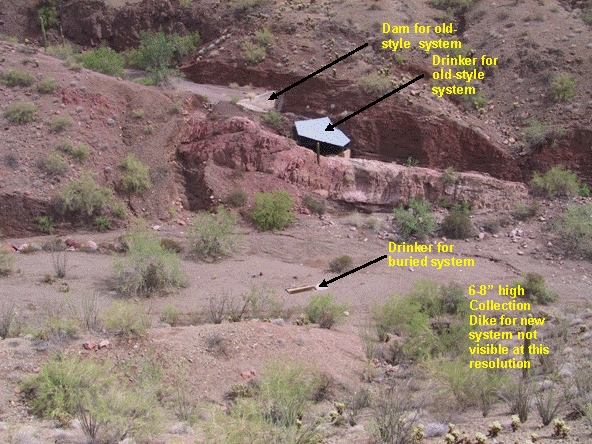
From the Kofa Nat’l. Wildlife Refuge website.
This must be it! Now I had to find the latitude and longitude to pinpoint the spot so we could walk right to it with our handheld GPS. I used a website; http://www.latlong.net/ ,which I use to pinpoint our location for the map “Where are Robert and Mary Jo now?” on our website. I found the telltale roof on the map and scrolled over the spot to get the coordinates. I put those into our handheld GPS hoping they are correct because sometimes the coordinates I get for our website puts us many miles away, sometimes into Mexico! Off we headed to the northeast, walking cross country.
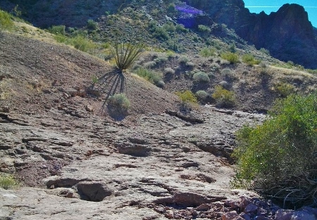
We reached a wash we believed to be the outflow of Hidden Valley and followed it up.
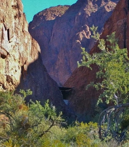
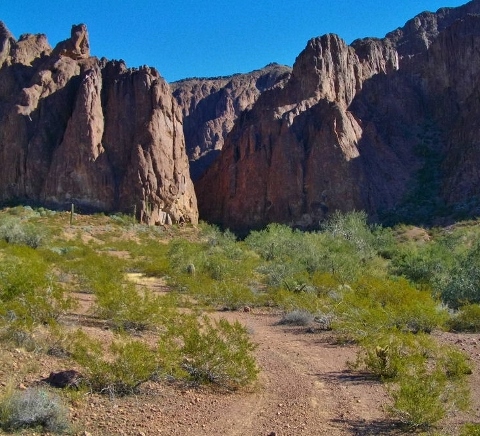
There it is! The valley is more narrow and steeper than we imagined!
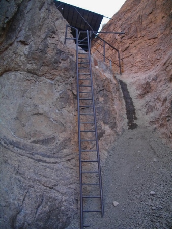
We found a path through the wash to the base of the tank.
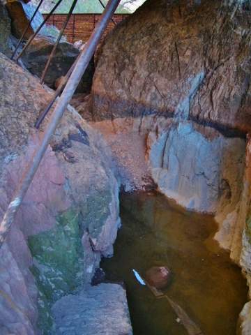
A climb up the ladder afforded us a view of the tank itself, rather empty now.
Mission accomplished. We were wondering how they got all the equipment, metal, cement, etc. to the site and when they did the enhancements?
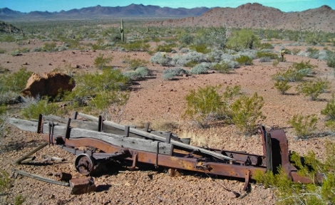
As we hiked out we found the chassis of an old truck, maybe it had been used for the tank construction.
Hiking further out we found evidence of an old road leading to Hidden Valley. It wasn’t going our way so we hiked cross country back to our campsite.
January 21st, 2014 at 9:49 am
Jealous of you three and your adventures—I just want to go out west! To the desert! Our short visit north of where you are last April was too brief!
January 21st, 2014 at 4:40 pm
Hi Sammy, weren’t you just out west? Oh that was the Northwest! Yes the desert is fabulous this winter, mild compared to the rest of the country. That bodes ill for the summer and fire season though, which is already in full swing in CA! It’s been so much fun with the ‘new’ Jeepster, that Robert is working on now!