October 10, 2023 Karikari Peninsula (Day 13)
Our goal today was to explore the Karikari Peninsula, particularly Maitai Bay, 116 km or 1 hour 35 min. away. On the recommendation of our hostess we took a detour on the way, on a loop to Matauri Bay. We were amazed at the views and the beaches we saw from the bluffs!

Our first view of Matauri Bay!
We figured out how to get down to the beach and also discovered that there is a Memorial to the Rainbow Warrior on the hill at the end of the beach. The Rainbow Warrior was the flagship of Greenpeace that was bombed and sunk by the French government in July, 1985 in a terror attack. Among their other protests against whaling, Greenpeace had the audacity to protest against nuclear testing being carried out in the south pacific by the French government! The ship was in Auckland harbour when it was bombed, the New Zealand government carried out an intensive investigation that revealed the perpetrators as French intelligence and military members. The ship was refloated for investigative reasons and was then scuttled just off this peninsula to act as a reef and a diving site.

The memorial to the Rainbow Warrior. It was windy at the top of the hill!

The hike up and back down the hill gave us views of this peaceful, beautiful bay!
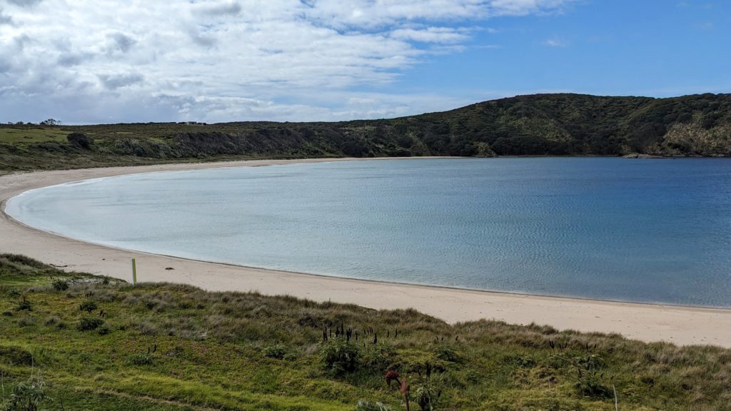
We continued on our way to the Karikari Peninsula which we discovered was much flatter and agricultural than we expected. We finally reached Maitai Bay on a gravel road, and it is magnificent!

The right side of the bay is rocky, with huge trees overlooking the water.

The left side stretches in an arc of soft sand that we walked in the breeze.

At the end of the beach we found a swing hanging from the huge branches of a tree. Of course we had a fun time swinging!
At the top of a hill between two bays we saw some carved, colorfully painted posts. We hiked up to see what they were.

They seem to represent a woman and a man. There were no explanatory signs and they were facing inland rather than out to sea. Notice what looks like tattoos on their faces.

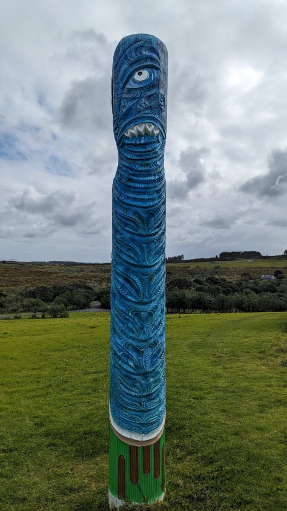
The backsides of the posts, looking out to sea, seemed to be scary sea monsters!
A little research explains that the posts are “Pou whenua“, a land post used by Maori to mark boundaries or places of significance, similar to totem poles in that they tell a story. These particular posts, “Traditionally carved Pou whenua, erected on the Pa site as symbolic protectors. They were placed here to mark the start of the Rahui which is still in place to allow the sea life to recover (Rahui currently ends Mar 2025)” (from https://lifeontheroadnz.com/rangiputa-maitai-bay-jewels-of-the-far-north/)
Then I had to look up ‘Rahui’; Wikipedia
Then ‘tapu’; basically a taboo.
Then ‘kaitiakitanga’; Wikipedia
Whew! Long post!

October 20th, 2023 at 7:00 pm
The beaches are gorgeous! The water soo blue and clear in that one shot. The stone memorial to the Rainbow Warrior is amazing.
October 21st, 2023 at 2:00 am
Yes, the water does look inviting, but it’s only been in the 70’s, so we’ve only put our feet in the water!
October 27th, 2023 at 6:06 pm
You visited a pā! I’m so jealous. BTW, that arc-of-beach shot is fabulous.