
April 9 Table Cape Lighthouse (Day 195)
We headed out early this morning, our destination; a free campsite on the west coast near Marrawah. The route is mostly along the north coast and we will pass three capes jutting out into Bass Strait. We decided to visit the lighthouse at Table Cape, the first cape on the route, and visible as a large flat butte just past the large working port town of Wynyard. As we approached the top of the butte through farmland and turned onto the gravel road the last few km we were enchanted with a beautiful stand of summer flowers leading to the lighthouse!
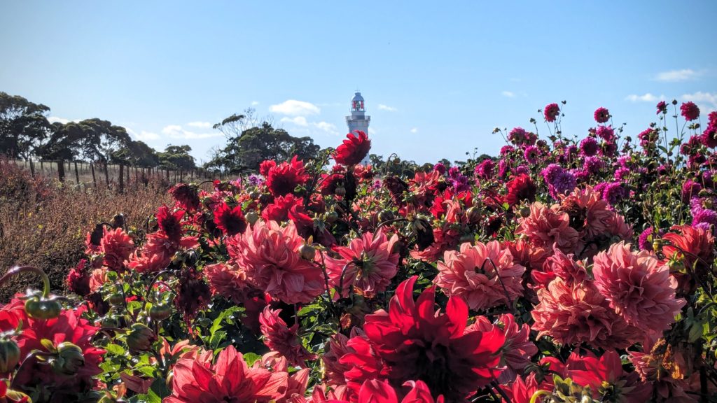
I had to get out and walk among the dahlias!
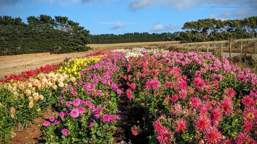
The long rows of colorful flowers overlooked farmland.
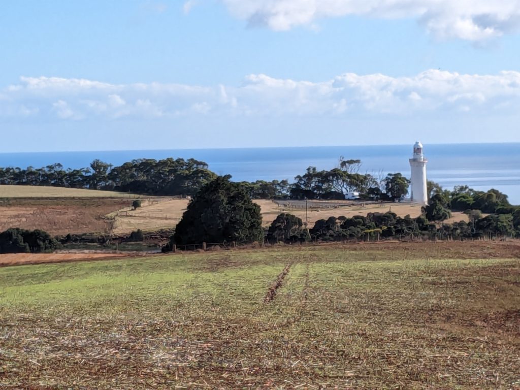
A walk along the high cliffs of Table Cape led to a lookout with a view back towards the lighthouse.

A reader board gives info on the volcanic origin of Table Cape. The farmland on the cape must be beautiful in spring with tulips blooming!
We moved on down the highway and passed the second cape, Rocky Cape, the gravel road to that lighthouse would probably undo the cleaning we just did yesterday! We did stop at a viewpoint however.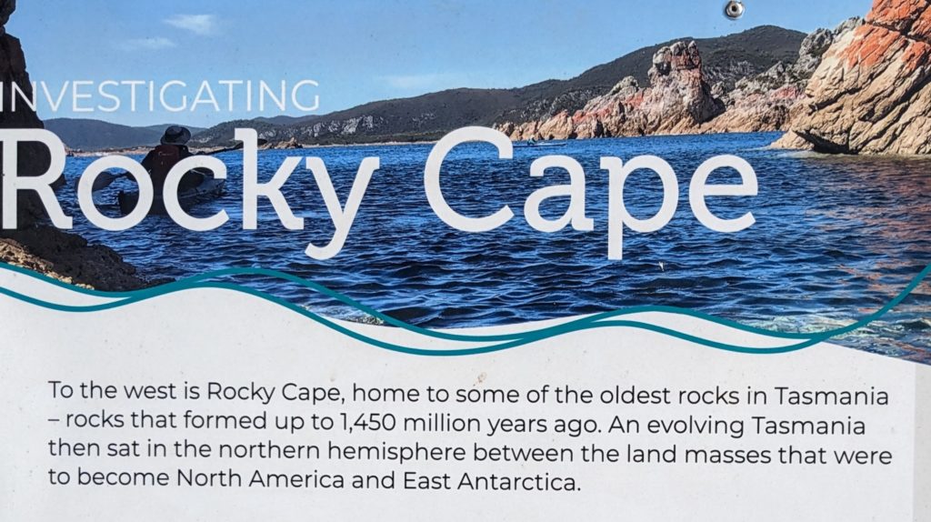

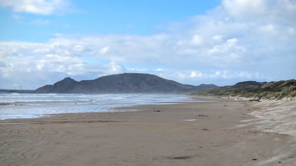
The long peninsula in the distance is Rocky Cape.
We passed the third cape, North Point (no lighthouse) then moved inland to cut across the pointy northwest tip of Tasmania to reach our destination, Green Point Beach. The one hour, 65 km trip from North Point to our campsite was enough distance for the weather to change from the partly cloudy warm north coast to the windy, grey skies and intermittent rain of the west coast!
Green Point Beach. Not much green from this view, but enough wind to keep the windmills way on the distant left point of land turning!