The End of the Trail
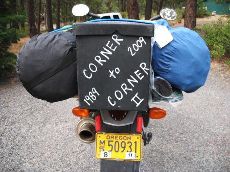
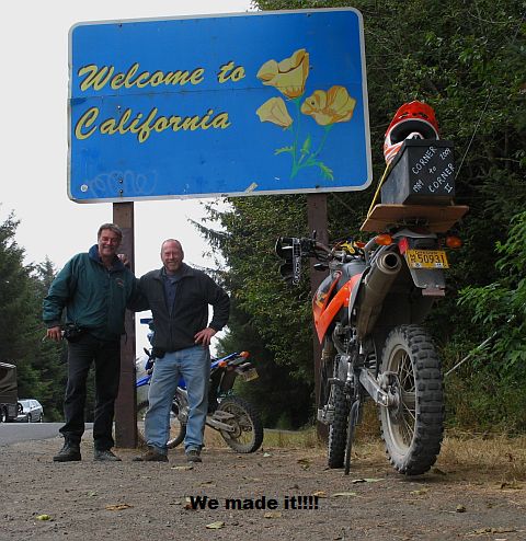
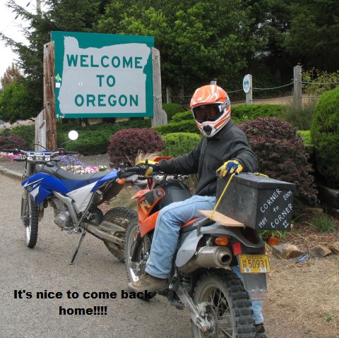
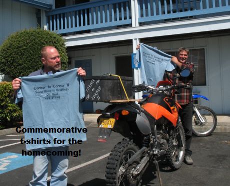
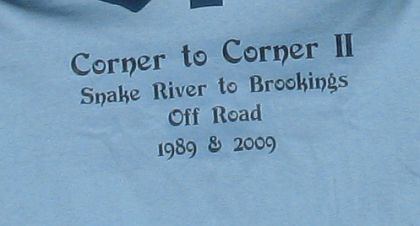
On Aug. 22 Mark & Robert reached their destination, the border of OR and CA on highway 101, just south of Brookings, OR. Sue & I met them at the only modern accommodations they enjoyed the whole trip. We celebrated their accomplishment and started planning the next trip, from Astoria, OR in the northwest corner of Oregon to east of McDermitt, OR on the OR/NV border in the southeast corner of the state! Maybe next year!
And through the Woods!
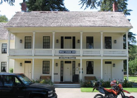
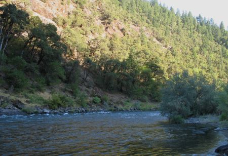
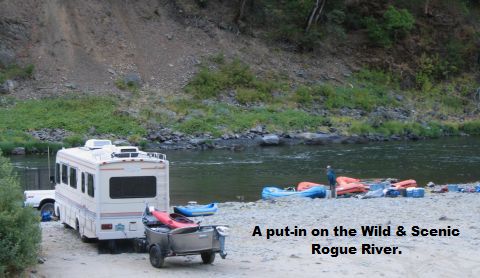
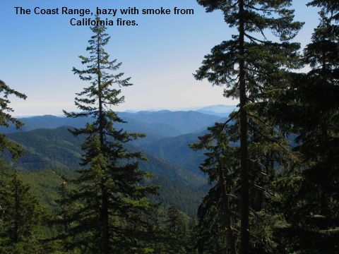
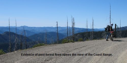
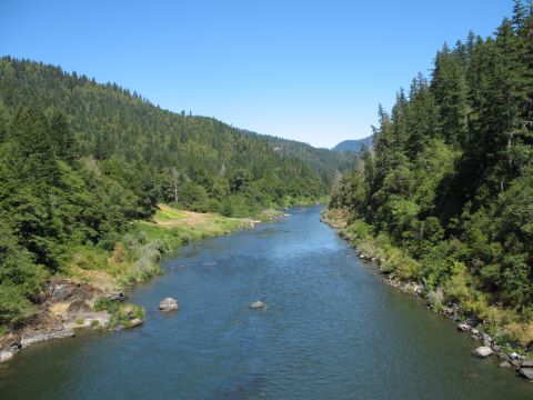
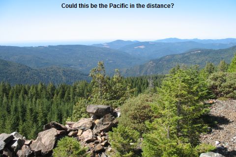
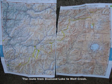
Robert and Mark stopped at the historic Wolf Creek Inn when they crossed I-5. This is also the transition from the Cascade Range into the Coast Ranges. They followed the Wild and Scenic Rogue River as much as they could, considering it winds through remote wilderness area, inaccessible to motor vehicles.
Over the Mountains
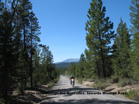
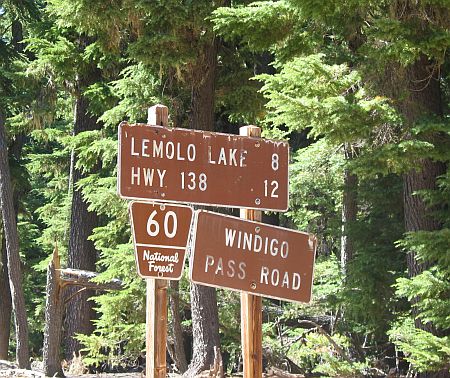
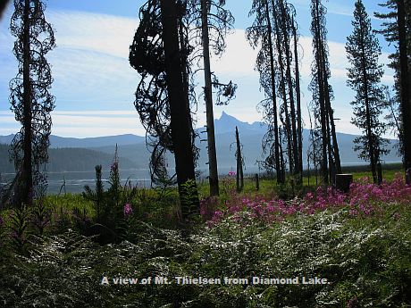
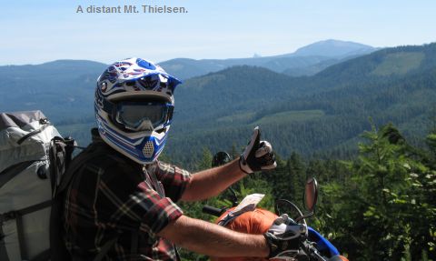
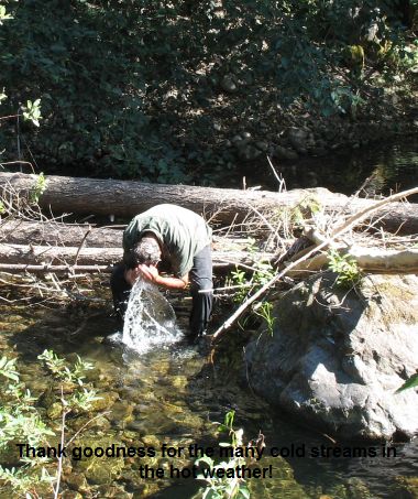
The second leg of the Corner to Corner saga started from Bend on Tuesday, Aug. 18. Robert and Mark headed into the Cascade Mountains on logging roads along the Deschutes River to the high lakes. Their goal was Windigo Pass towards Diamond Lake. The weather was pleasant but as they headed further west it got Hot!
The First Half
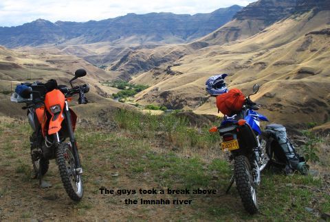
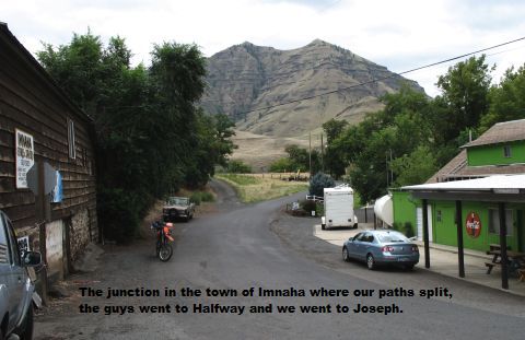
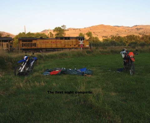
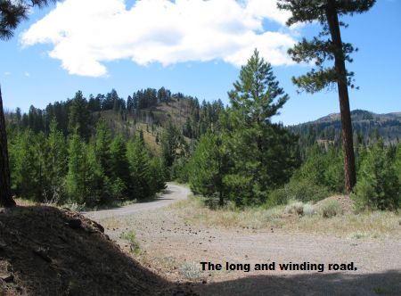
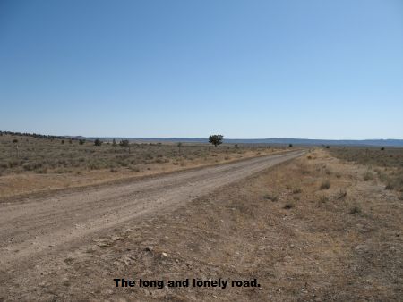
Robert and Mark made it to Bend, the half way point in their ‘Corner to Corner’ jaunt, late Sunday night 8/16. They downloaded some pictures of their route around the Wallowa Mountains, skirting the southeastern foothills of the Blue Mountains and edging along the Strawberry Mountains into the high desert. A couple of cold nights camping out are worth the views and memories.
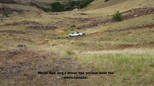
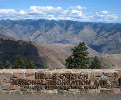
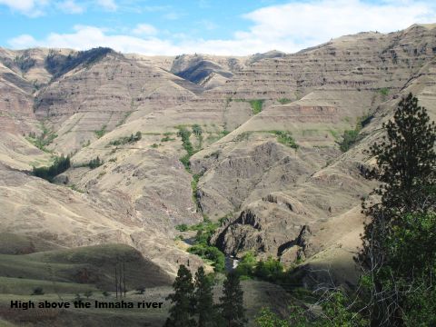
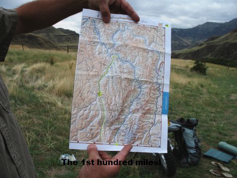
The first day of riding started on the same 24 miles of gravel on which we drove into Hells Canyon.
