Ward Ovens – June 3
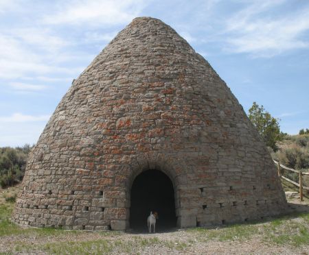
We hightailed it across Utah, past Great Basin National Park (there’s still lots of snow on Wheeler Peak, highest point in Nevada, in the park near the border with Utah) and into the small historical park just south of Ely, Nevada. The ovens were built and used in the late 1870’s to make charcoal for use in the stamp mills of the nearby mining towns.
Harpers Corner Road – May 31
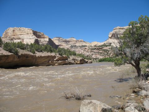
We drove the scenic Harpers Corner Road in the center of the park (click to see map) to the Echo Park overlook, then hiked the mile long trail to the high point. What a vista! We could see the Bench Road (which we motorcycled several days ago) disappearing into the far distance and over the ridge toward our previous camping site. We looked down 2500 feet to see Echo Park, the campground we rode the motorcycles to at the base of Steamboat Rock. We could also see the Green river flowing south and the Yampa river flowing west to where they meet, hidden behind Steamboat Rock, then the Green river continuing around the base of the long, narrow Steamboat Rock.

The little ribbon of road on the right is the Bench road, the white rocks show where the Yampa river flows through canyons.

You can just make out the Green river flowing south in the upper left of the picture. The vertically curved rocks on the left are the 'stern' of Steamboat Rock. In the upper right you can see the Yampa river. They meet behind Steamboat Rock and continue around the 'bow' and flow west in the foreground.
Bull Canyon – May 30
We rode our motorcycles 15 miles into the park on the Bench Road and hiked down Bull Canyon Trail, a 2+ mile roundtrip, with an elevation change of about 800 feet.
Homestead – May 29
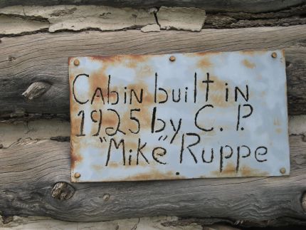
We took a walk from our temporary ‘homestead’ down the road apiece and found a real homestead circa 1925.

The sturdy little cabin was surrounded by several outbuildings; a small shed, root cellar, outhouse, corrals, and a well with windmill.
On the trek back to our little house on wheels we encountered some of the current residents.

