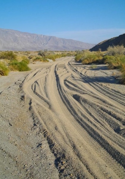
We took the Jeepster out for a short ride up the road we are camped by. The road became very sandy once we passed the dry lake bed and the gravel quarry.
Despite the loose sand and rough ride, lots of 4 wheel drive vehicles explore out here!
Posted on February 28th, 2014 at 5:58 pm | No Comments »
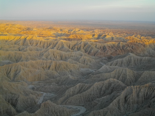
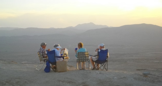
We continued our travels to the west side of the Salton Sea. We will spend a few days enjoying the views around Borrego Springs, the little town in the doughnut hole in the center of Anza Borrego State Park. After setting up our campsite we took the Jeepster for a ride to Fonts Point to see the sunset. The sandy tracks heading up the hill had been graded since last year, and there were several vehicles headed our direction. When we arrived at the scenic point there was a hubub of activity.
Sunset from Fonts Point, looking east towards the Salton Sea.
Unidentified couples enjoying the sunset view.
We eventually figured out that a movie was being filmed, but we were able to carry on with our tourist activities of picture taking and plaque reading.
Filming at the edge of the cliff.
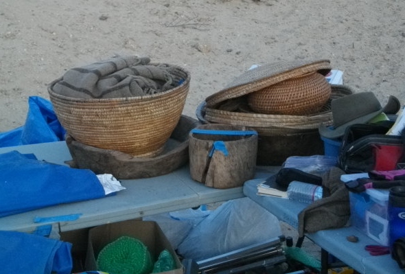
A quick internet search back at camp informed us that the movie will be titled “Last Days in the Desert”.
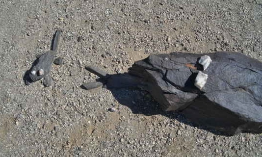
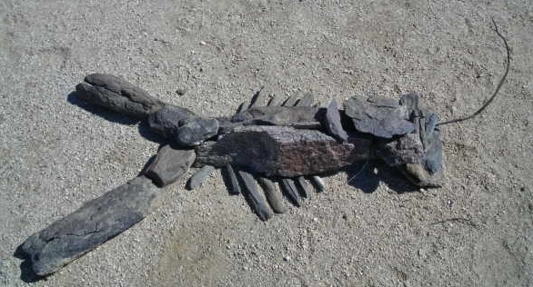
Various props for the film.
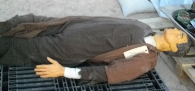
A dummy ready to be thrown off the cliff?
Posted on February 24th, 2014 at 10:15 am | No Comments »
It’s been HOT! It isn’t even cooling much at night and the refrigerator can’t keep up so we have to find a new campsite! We headed away from the Tumco area of the Cargo Muchacho mountains and turned the camper towards the palm oasis near the Salton Sea. We’ve visited Dos Palmas Oasis many times over the years and it is always a welcoming, cool rest stop.
The palm groves appear to be an impenetrable forest!
Occasionally an opening has been made, allowing us a glimpse of the idyllic scenes under the palm fronds.
Streams meander through the groves and tender grass covers the shaded ground.
Mavrik couldn’t resist romping through the little meadows and splashing in the clear water!
A look back at the palm oasis as we hiked into the heat of the desert gave us a view of this lone palm with it’s ‘grass hula skirt’ waving goodbye to us.
For a great history of Dos Palmas Oasis click HERE.
Posted on February 20th, 2014 at 11:56 am | No Comments »
We braved the threat of 90+ degrees today and took a ride in the Jeepster. We paired up with some friends and drove around one end of the Cargo Muchacho mountains and into a valley on the back side of the range. I had been looking on the internet for routes that pass through the mountains and found only one map that showed BLM route 715 traversed the mountains on the south end of the range. We ended up on that route as we penetrated deeper into the valley. We came to an area where we had found pools of water several years ago, they were bone dry today!
The road sign indicated that route 715 continued over the hill and down this canyon. No it DIDN’T!
Posted on February 15th, 2014 at 6:44 pm | 1 Comment »