April 2, 2026 Winter Ain’t Over Yet
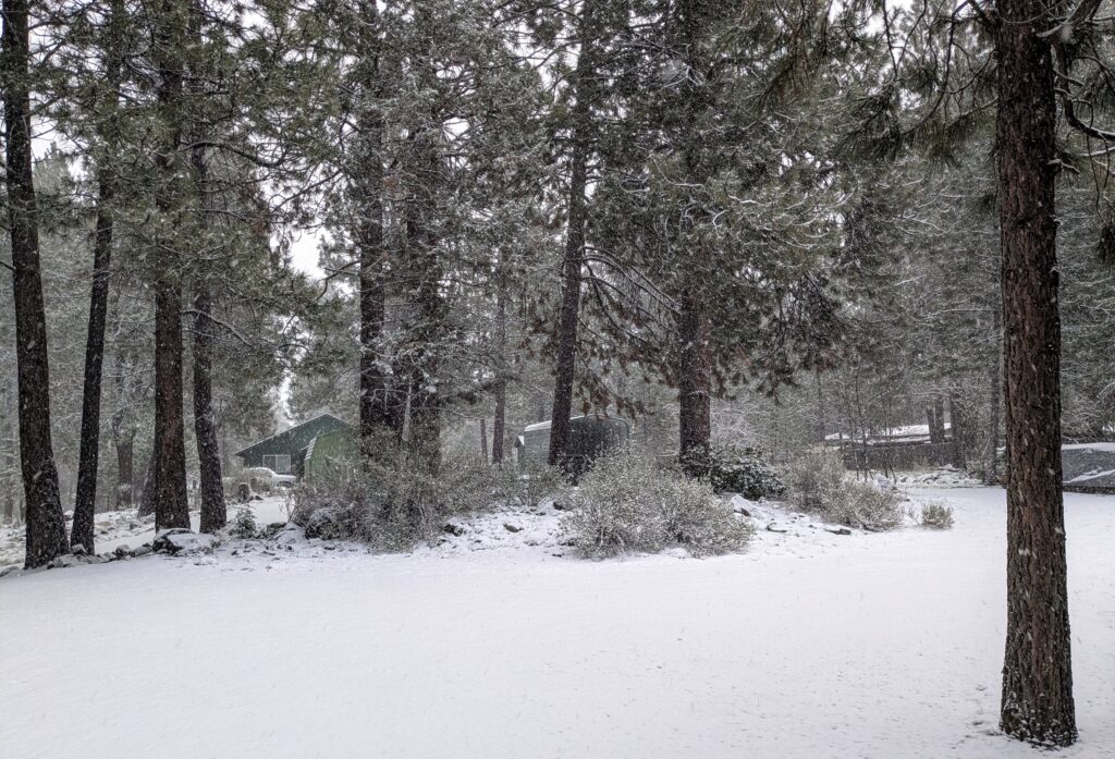
A light dusting of snow unfortunately won’t compensate for the poor, low snow pack in the mountains. It’s going to be a HOT, DRY summer!

A light dusting of snow unfortunately won’t compensate for the poor, low snow pack in the mountains. It’s going to be a HOT, DRY summer!
We attended the No Kings Protest March today, with thousands of like-minded patriots!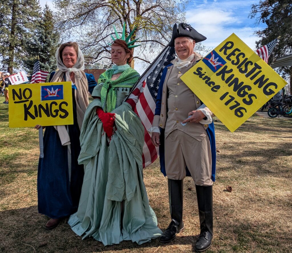
Including George & Martha Washington and the Statue of Liberty, crying bloody tears!
We decided to donate our restored 1968 Jeepster Commando to Oregon Public Broadcasting. We have not used it in several years and it is only accumulating dust sitting in a carport. Let’s let it out to give someone else the pleasure we had when we drove around the desert exploring! 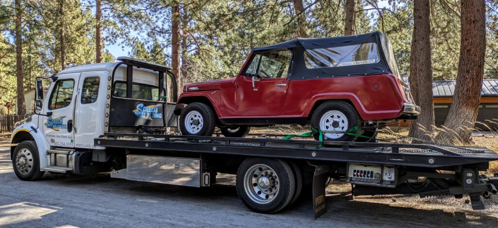
Thanks Don Chilson and Tom Crystal for all the work and guidance you gave us in bringing this Jeepster back to life!
A view of Mirror Pond on the Deschutes River in Drake Park, Downtown Bend. It’s early spring, leaves are just beginning to bud on the trees and one of the 3 Sisters mountains in the distance, is covered with a crown of snow.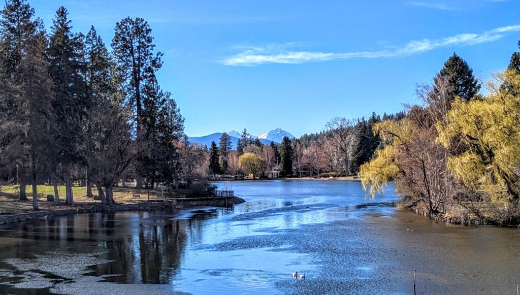
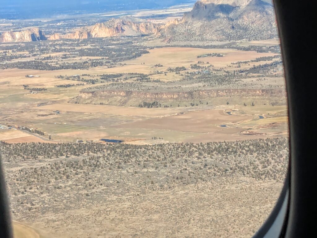
Back home, flying over Smith Rock and the high desert into Redmond, after 24+ hours of flying Auckland to San Francisco, then to Portland, overnight in a hotel near the airport, and then flying into Redmond around noon.